Buon Cammino 4
Buon Cammino 4
Gps Track
Gps Track
- Total Length: 35,4 km
- Difficulty by Foot: Medium
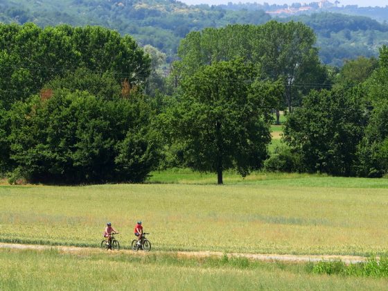
About 40 km long, the route of Buon Cammino 4 connects the countryside of Santhià and the hillside, with a very varied pathway, alternating different and pleasant agricultural landscapes with dense wooded areas. It represents a natural connection between the typically hilly trails 1, 2 and 3 and the mainly flat landscape of the tracks 5, 6 and 7 of the Buon Cammino walking path.
You start from the center of Santhià, walking down to the main road of the town, Corso Nuova Italia, then you turn to Via Alice Castello, on a nice asphalted road that quickly leads to the periphery. Here you will meet the great basin for water return, where waters of different incoming canals are mixed to enrich the flow of the canal Naviglio d'Ivrea.
Along this route, you can admire a lot of interesting sites. Just outside Alice Castello you can find the Sanctuary of Madonna della Misericordia. Then you enter the center of the town, passing by the parish church and the castle. Along via S. Grato you can observe its homonym church. Between Alice Castello and Roppolo, beyond some meadows and crops, you will find the path of Buon Cammino 3 where you get into a dense forest, through which you reach the entrance to the old Polveriera (powder keg), now partially abandoned.
Continuing towards Roppolo, along the road that goes down to the hamlet of Morzano, you can admire the most scenical part of the trail, with generous views of the lake of Viverone, the moraine hills and the Alps of Canavese and Biella. Gone back to previous altitude and exceeded the main road for Ivrea, you reach Roppolo with its eighteenth-century Church of Vergine del Rosario (1738), next to the imposing bell tower. From here up to Santhià you have to follow the signs of Via Francigena route (with occasional reminders of Buon Cammino 4). The trail goes up to the Castle, situated in a panoramic position, then makes a detour to the small cemetery and turns right crossing meadows and forests up to Cavaglià.
Here we pass in front of the imposing parish Church of San Michele (it hosts a valuable Rococo choir, a walnut pulpit and an organ made by Serassi) and the Via Francigena hostel for pilgrims. Leaving the village, on the left, nearby the cemetery, you can see the elliptical dome of Santa Maria del Babilone, dating back to 1620, which preserves inside a remarkable wooden group of the thirteenth century. The route, however, winds on the right side of the highway, along a road that descends gently towards the plain and then crosses the main road, continuing with others up and down hills, punctuated by several restaurants and farmhouses. Then appear the first rice paddies, soon replaced by meadows and crops, along the pathway of the Francigena route up to Santhià.