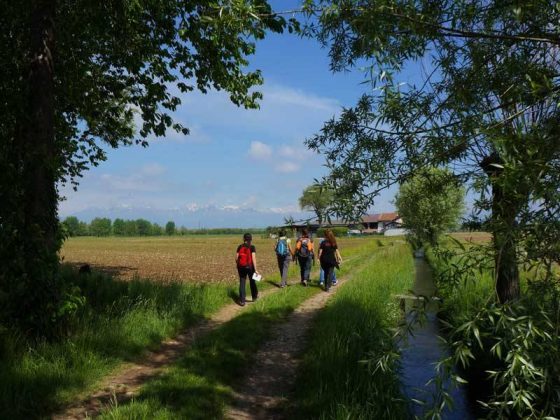
The three circular routes of Buon Cammino that evolve in the territory of Santhià and, for some stretch, overlap the Sigerico’s path of the Via Francigena, offer the typical view of the different agricultural landscapes of Vercelli’s lowland, close to the moraine hills of Serra d’Ivrea: above all paddy fields, that change appearance according to the changing of seasons, and offer hospitality to peculiar flora and fauna. Here we can find numerous bird species like herons, ibises, night herons and, less frequently, red herons and storks. In the northwestern area, however, crops are recognizable especially by the presence of corn fields, but we can also find meadows and crops of legumes and cereals. Along the itinerary of Cascina Mandria (route of BC7) you also come across stretches of landscapes marked by an invasive presence of the motorway and by the overhead High Speed railway line, with junctions and overpasses. This allows you to observe the combination of contrasting scenarios.